READ THE 2024 report
The annual report shows changes in the global water cycle and provides background on major events worldwide
LAUNCH the DATA EXPLORER
The spatial data explorer lets you visualise and download historical and recent data for any location or region
how we measure water
We use advanced methods to combine measurements from tens of satellites and thousands of on-ground stations.
who we are and what we do
We are a global partnership of universities and companies. Read who we are, what we do, and why we do it

The Global Water Monitor
There are other water information systems online. So what makes ours so special?
the whole water cycle
One aspect of the water cycle does not show the full picture. We use data on precipitation, air temperature and humidity, soil water, river flows, and lake volumes to understand change.
daily updates
We update our information as soon as new data becomes available. Thanks to near-real time satellites, that means within days after the event.
Compare
Summarise data for any time period and compare it to values for the previous decades to see if conditions are unusual, and what might happen next
find your location
Summarise and explore data any country, province or state, river basin, or local catchment, select a single location, or draw your own region.
download data
What you see is what you’ve got! Any of the data you can see you can download freely for your own research or reporting.
transparent and traceable
Our methods are transparent and scientifically peer-reviewed. You can examine and summarise the data in the same way we did for the report, or try something different.
Global Water Monitor
2024 Summary
New temperature records were set. Extreme rainfall events occurred across the Sahel region and in Europe and Asia, while droughts affected the Amazon and Southern Africa.
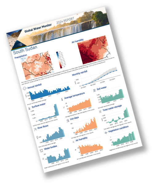
Report cards by country and basin
Download a report card summarising last year’s climate and water conditions in any region of interest.
Our Team
The Global Water Monitor is a joint public good initiative by the following organisations and individuals:


